Crested Butte Avalanche Zone Mapping
AVAL-2025-11 · Delivered
Overview
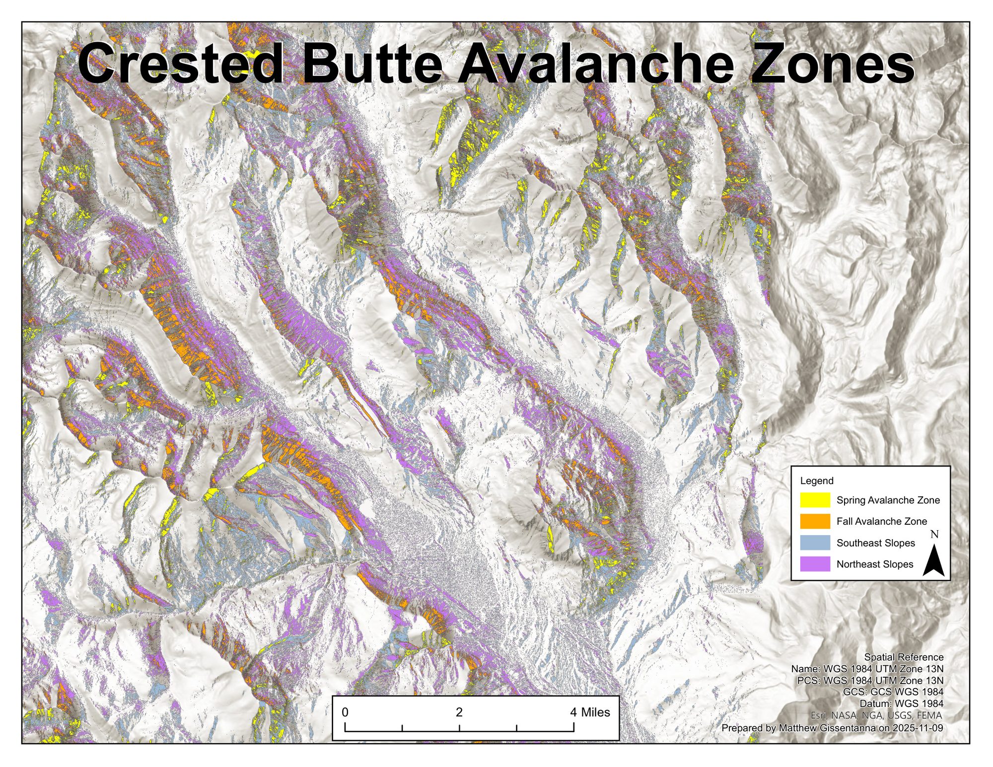
Spatial analysis identifying seasonal avalanche zones in the Crested Butte backcountry. Northeast-facing slopes accumulate wind-loaded snow through fall and become unstable first; southeast-facing slopes destabilize later during spring melt. Hazard layers overlaid on a hillshade base for route-planning context.
Processing
SoftwareArcGIS Pro
Coordinate Reference Systems
- Horizontal
- WGS 1984 UTM Zone 13N
Methods
- Slope and aspect raster derivation from USGS DEM
- Reclassification into spring vs fall avalanche zones by aspect category
- Overlay on hillshade base for cartographic context
Deliverables
- Hazard map (PDF)